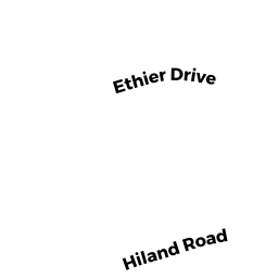
0 HILAND RD
Owner Information
AMICO KYLE (2/21)
88 HILAND RD
CHARLTON, MA 01507


Property Details
0 HILAND RD is classified as a Undevelopable Residential Land.
0 HILAND RD is valued at 8200. The land is valued at 8200 and the structures are valued at 0.
The most recent deed for 0 HILAND RD is recorded at the local registrar in Book 64532, Page 217. 0 HILAND RD was last sold on 2021-02-23 for 225000.
Assessment data from fiscal year 2022.
Flood Data
According to the FEMA National Flood Hazard Layer, this property does not appear to be in a flood zone. It may also be in an area not yet reviewed. Nonetheless, confirm this information prior to taking any action.
To view the flood hazards around this property, create a FEMA "Firmette" Map of the area around 0 HILAND RD.
Broadband Internet Providers
| Provider | Type | Bandwidth (mbps) | |
|---|---|---|---|
| Viasat Inc | Satellite | 100 | 3 |
| Charter Communications Inc | Cable | 940 | 35 |
| T-Mobile | Fixed Wireless | 25 | 3 |
| GCI Communication Corp. | Satellite | 0 | 0 |
| HughesNet | Satellite | 25 | 3 |
| VSAT Systems, LLC. | Satellite | 2 | 1 |
Broadband service provider data from December 2020.
Adjacent Properties
- 0 HILAND RD
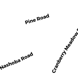
Undevelopable Residential Land owned by EMCO-ROLLINS NATASHA (10/07) - 98 CRANBERRY MEADOW SHORE RD
Single Family Residential owned by EMCO-ROLLINS NATASHA (10/07) - 96 CRANBERRY MEADOW SHORE RD
Single Family Residential owned by BURLINGAME KAREN G (5/95) - LOT 5 HILAND RD
Potentially Developable Residential Land owned by BURLINGAME DOUGLAS (9/06)